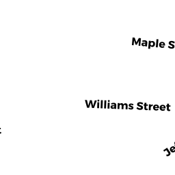
35-37 WILLIAM ST NNC
Owner Information
CAHILLANE TRAOLACH
188 PALFREY ST
WATERTOWN, MA 02472


Property Details
35-37 WILLIAM ST NNC is classified as a Two-Family Residential (Family duplex).
The primary structure on this property was built in 1882. There are 4,056ft2 of built area within this property. There is 2,534ft2 of residential/living space within this property. This property is listed as having 12 rooms.
35-37 WILLIAM ST NNC is valued at $754,300. The land is valued at $373,700 and the structures are valued at $380,600.
This property is in Zone MR2. Confirm with local Zoning Board authorities to ensure there are no overlays or other easements on this property.
The most recent deed for 35-37 WILLIAM ST NNC is recorded at the local registrar in Book 70506, Page 119. 35-37 WILLIAM ST NNC was last sold on Friday, January 12, 2018 for $641,000.
Assessment data from fiscal year 2022.
Flood Data
According to the FEMA National Flood Hazard Layer, this property does not appear to be in a flood zone. It may also be in an area not yet reviewed. Nonetheless, confirm this information prior to taking any action.
To view the flood hazards around this property, create a FEMA "Firmette" Map of the area around 35-37 WILLIAM ST NNC.
Broadband Internet Providers
| Provider | Type | Bandwidth (mbps) | |
|---|---|---|---|
| Comcast | Cable | 1000 | 35 |
| Verizon New England Inc. | DSL | 7 | 0 |
| RCN | Cable | 500 | 20 |
| RCN | Fiber | 1000 | 20 |
| GCI Communication Corp. | Satellite | 0 | 0 |
| HughesNet | Satellite | 25 | 3 |
| VSAT Systems, LLC. | Satellite | 2 | 1 |
| XO Communications | Copper Wire | 0 | 0 |
| Verizon New England Inc. | Fiber | 940 | 880 |
| Viasat Inc | Satellite | 100 | 3 |
Broadband service provider data from December 2020.
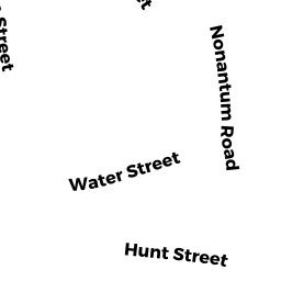
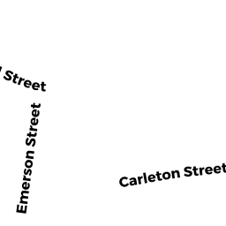
Adjacent Properties
- WILLIAM ST NNC
Undevelopable Residential Land owned by WALLER STEVEN - 45 JEFFERSON ST
Two-Family Residential owned by WANG LIAN - 39 JEFFERSON ST
Single Family Residential owned by GREENE PATRICIA W TR - 31 JEFFERSON ST #1
Residential Condominium owned by LANAN MAUREEN - 31 JEFFERSON ST 2
Residential Condominium owned by KANG JIAWEN - 31 JEFFERSON ST
Other, Open Space owned by 31 JEFFERSON ST MASTER DEED - 37 JEFFERSON ST
Two-Family Residential owned by 37 JEFFERSON STREET LLC